Log in
All resources
Create a design
377 Free Images of 1800 Maps
early works to 1800
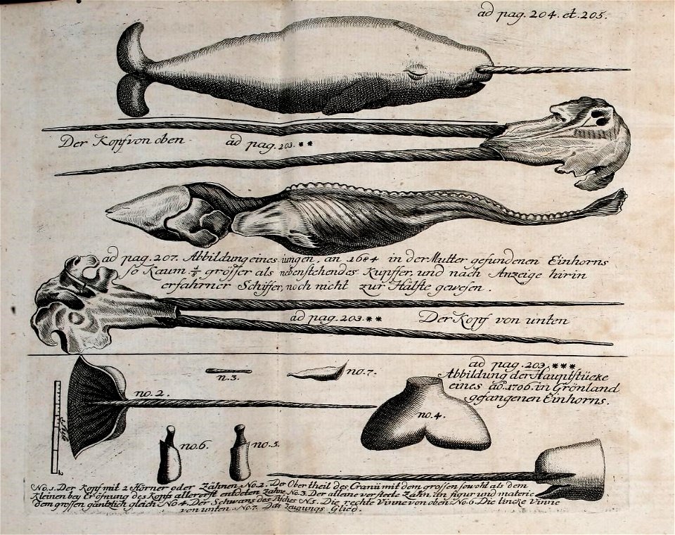
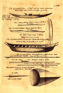
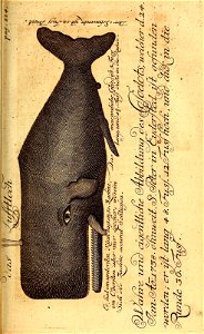
natural history
bibliothèque nationale de france
smithsonian libraries
description and travel
voyages and travels
1800s public domain
french
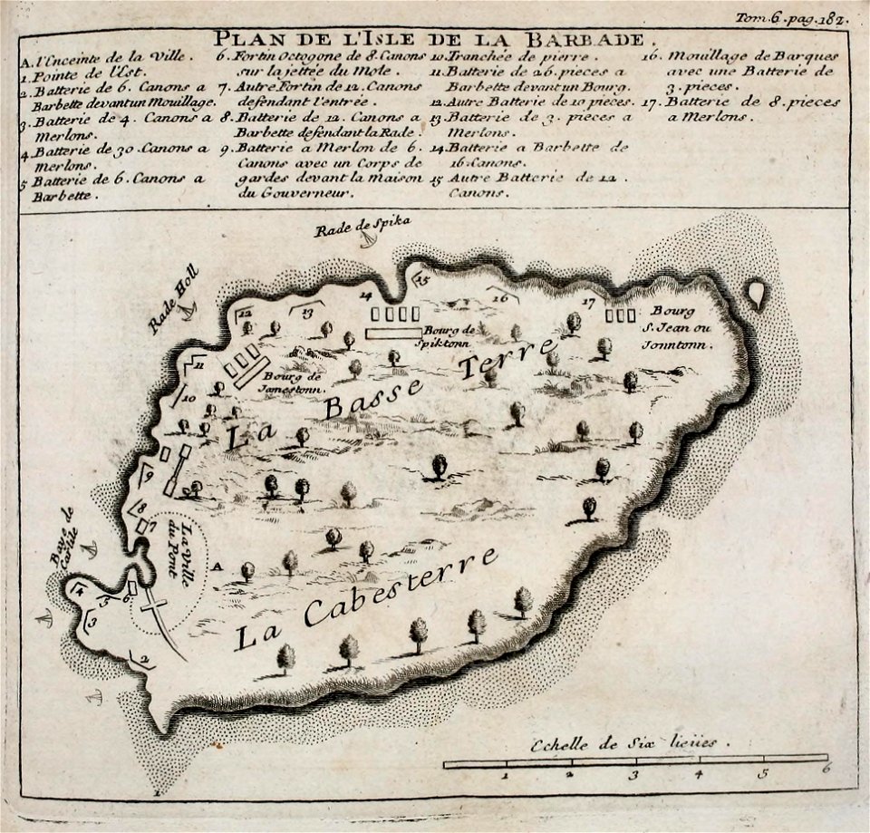
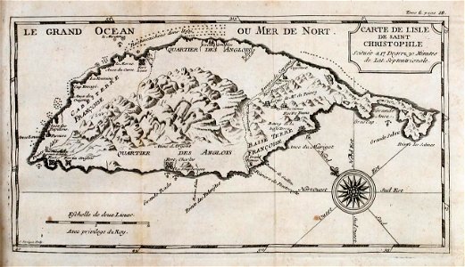
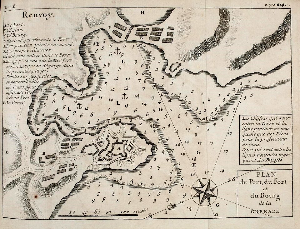
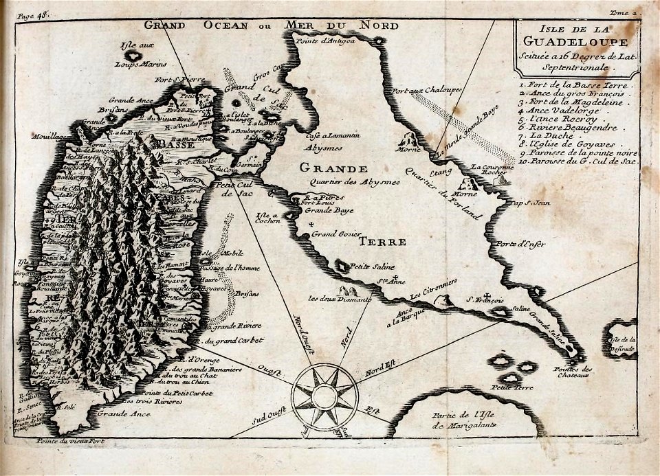
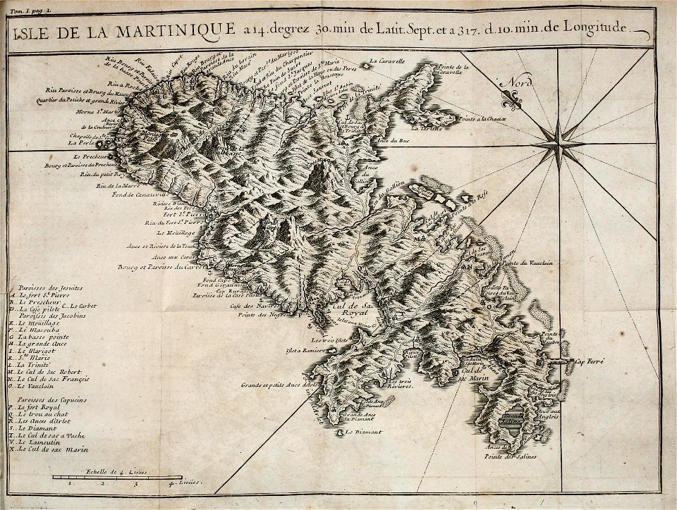
west indies
pre-linnean works
south america in the 1800s
realism
paleontology
maps
st thomas's church, monmouth
welsh landscape collection
antoine-françois tardieu
maps from gallica
the gazetteer of scotland (1838)
edinburgh in art
prints by johan frederik clemens in the statens museum for kunst
engraving
antoine-françois tardieu
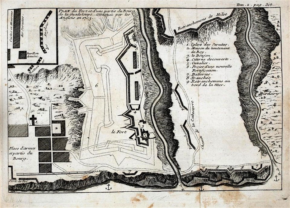
1800s maps of hispaniola
antoine-françois tardieu
1800s maps of hispaniola
maps from the earth and its inhabitants, vol. xi
algeria in the 1800s
maps from the earth and its inhabitants, vol. xi
algeria in the 1800s
territorium argentoratense (1652 map)
bibliothèque nationale de france
maps of haguenau
carolus allard
maps from gallica
baroque
19th-century maps of the isle of wight
william price
maps by john cary
1801 maps
bibliothèque nationale de france
maps by thomas kitchin
1800s maps of the caribbean
charles picquet
french
maps
french
maps
french
maps
french
maps
french
maps
antoine-françois tardieu
1800s maps of hispaniola
french
maps
french
maps
voyages and travels to india, ceylon, the red sea, abyssinia, and egypt, vol. 3
henry cooper (engraver)
narrative of a five years' expedition (1806)
romanticism,fairy painting
islands
maps
historical
history
satirical prints in the british museum
realism
haarlem in the 19th century
haarlemmerhout
travel
maps
satirical prints in the british museum
realism
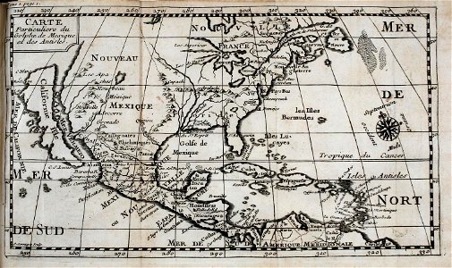
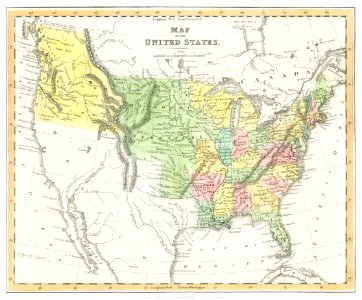
1800s maps of the americas
maps by john cary
bibliothèque nationale de france
ambroise tardieu
1805 maps of the united states
maps by john cary
voyages and travels to india, ceylon, the red sea, abyssinia, and egypt, vol. 3
james tyrer
voyages and travels to india, ceylon, the red sea, abyssinia, and egypt, vol. 3
henry cooper (engraver)
letters from portugal and spain (1809)
a coruña in the 19th century
letters from portugal and spain (1809)
1809 in galicia (spain)
carte des côtes de malabar et de coromandel (1723)
philippe buache
letters from portugal and spain (1809)
19th-century portrait paintings in the musée de l'armée
nicolas gosse
picturesque views, on the river medway, from the nore to the vicinity of its source in sussex (1793)
maps of the river medway
carte de l'afrique françoise par guillaume delisle (1726)
philippe buache
iceland
maps
a voyage to abyssinia, and travels into the interior of that country, executed under the orders of the british government in the years 1809 & 1810
john outhett
iceland
maps
carte de barbarie, nigritie, guinée par guillaume delisle (1707)
university of washington
a voyage to abyssinia, and travels into the interior of that country, executed under the orders of the british government in the years 1809 & 1810
john outhett
bibliothèque nationale de france
carolus allard
the repository of arts, literature, commerce, manufactures, fashions and politics (1810)
1810 maps
old maps of haarlem
haarlemmerhout
cartouches by guillaume delisle
philippe buache
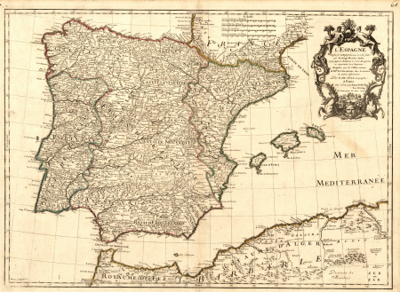
maps of the iberian peninsula by guillaume delisle
1700s maps of the iberian peninsula
nature
maps
carte de moscovie by guillaume de l'isle (1706)
university of washington
carte de l'isle de ceylan by guillaume delisle (1722)
philippe buache
narrative of a five years' expedition (1806)
romanticism,fairy painting
geoctroyeerde sociëteit van suriname
old maps of suriname
map of europe by guillaume delisle (1700)
university of washington
narrative of a five years' expedition (1806)
romanticism,fairy painting
narrative of a five years' expedition (1806)
romanticism,fairy painting
conrad caspar rordorf
julius tempeltey
conrad caspar rordorf
julius tempeltey
maps in the rijksmuseum amsterdam
dutch golden age painting
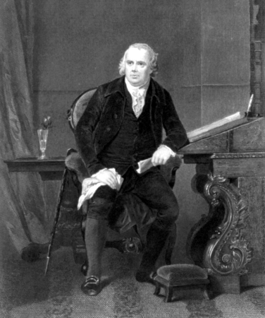
alonzo chappel
robert morris
prints by pieter sluyter in the rijksmuseum amsterdam
maps in the rijksmuseum amsterdam
antique
maps
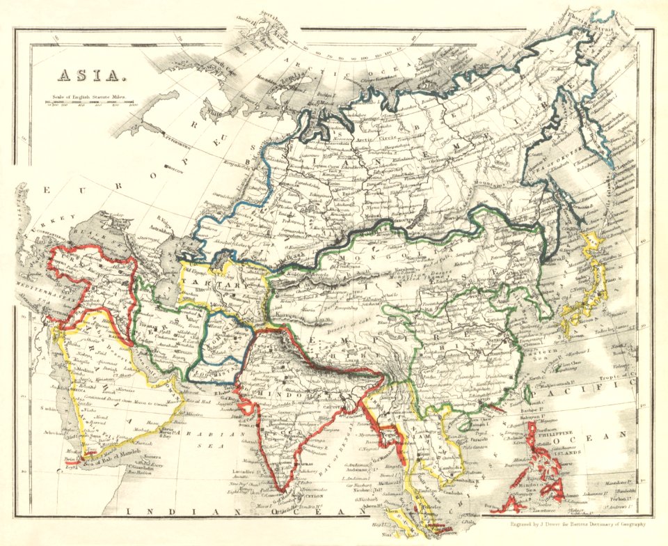
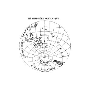
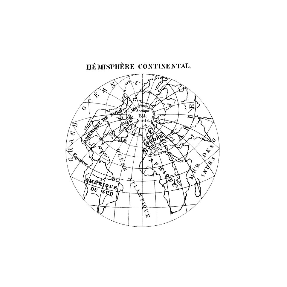
world map
maps
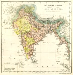
india
maps
ocean
maps
world map
maps
earth
maps
earth
maps
adventure
maps
ocean
maps
301 - 377 of 377
/ 4


![Map of Finland / drawn up by P. Lapie, cap[itaine], ing[ieur], geog[raphe]; engraved by Tardieu aïné; written by Giraldon, 1808](https://cdn.creazilla.com/illustrations/10001359680/map-of-finland-drawn-up-by-p-lapie-capitaine-ingieur-geographe-engraved-by-tardieu-an-written-by-giraldon-1808-sm.webp)


![A new chart of the isle of Wight [Bognor Regis - Durlston head], William Price, 1800](https://cdn.creazilla.com/illustrations/10000679901/a-new-chart-of-the-isle-of-wight-bognor-regis-durlston-head-william-price-1800-md.jpg)